
Batanes is the northern most province of the Philippines. The capital — Basco, is located some 657 kilometers north of Manila, 210 kilometers north of the nearest tip of Luzon island and just 177 kilometers south of Taiwan. It is composed of ten islands with three islands inhabited — Batan Island, Sabtang and Itbayat. It has a total land area of 219 square kilometers.
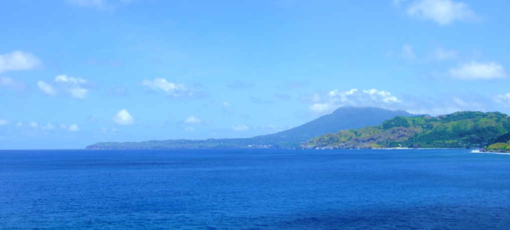
The province features rolling hills with a prominent dormant volcano in Mount Iraya at the north of Batan island near Basco. The hills of Batanes have distinct features — rolling hills with fields divided by hedgerows for farming and the rest are used as pastureland. The shoreline of the islands are predominantly ringed by coral reefs and cliffs.
Climate in Batanes is different from the rest of the Philippines — it is comfortable year-round averaging 19 degrees ~ 24 degrees in January to a high of 25 ~ 31 degrees celsius in July. Rain probability is lower in the months of December to July.
The people of Batanes are called Ivatans. This is our home!